Commission on Topographic Mapping activities
At the ICA Commissions meeting in Vienna on 8th–9th November we held several productive discussions with other Commissions to explore potential for collaboration and partnership. This was followed by a successful scoping exercise inviting Commission leaders to propose up to five topics of common interest to identify specific areas that would inform subsequent discussions on future research and events. We will identify new topics with other Commissions, but the present results of these exercises are summarised in the table below.
| ICA Commission | Topics for Collaboration | Action(s) |
| Cognitive Issues in Geoinformation Visualisation
|
– Cultural differences in the design and interpretation of topographic symbols | Participation in Special Session at AAG (Association of American Geographers) Meeting, San Francisco, March/April 2016;submit paper to International Journal of Cartography (IJC); |
| Education and Training | – Glossary of terms relating to topographic mapping | Collaboration towards an online glossary for ICA website |
| Generalisation and Multiple Representation | – Automated generalisation of topographic maps
– Multi-scale representation of topographic maps – On-demand mapping – Integration of user generated (multi-source) content and topographic information – Updating and revision of topographic maps |
Participation in AGILE (Association of Geographic Information Laboratories in Europe) workshop in Helsinki, June 2016 |
| Geospatial Analysis and Modelling | – Fractal mapping (e.g. apply head/tail breaks into classification and visualisation for topographic mapping in order to better reflect the fractal nature of maps, e.g., colour rendering of DEM or TIN) | Scope topic for joint research publication |
| History of Cartography | – History of topographic mapping
|
Joint conference on ‘Colonial Mapping Beyond Europe’,
in spring/summer 2018; Joint pre-conference workshop (Library of Congress), ICC2017? |
| Map Projections | – Map projections and topographic mapping
– Coordinate systems and topographic mapping – Mathematics and topographic mapping – Geodesy and topographic mapping |
Scope topics for joint research publication and/or conference/workshop |
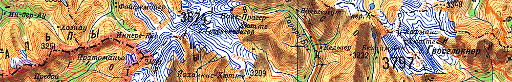
| Mountain Cartography | – Basemap definition
– Harmonisation of national terrain models across borders |
Workshop at Berchtesgaden, April 2016 |
| National Atlases | – Functions of place names on maps
– Rendering of place names on maps (e.g. endonyms/exonyms; script conversion; selection of places to be named) – Name placement on maps (e.g. selection principles when space is scarce; whether every feature must be named; whether lettering affects perception of density of places) – Principles of structuring user-oriented place-name databases |
Pre-conference Symposium, ICC2017? |
| SDI and Standards | – A standard for a topographic data model (e.g. following LADM [Land Administration Domain Model], but where countries develop profiles for their areas of jurisdiction)
– A cartographic standard for portrayal on topographic maps |
Scope topics for joint research publication and/or conference/workshop |
| Use, User and Usability Issues | – Investigate user requirements of
topographic maps (e.g. different scales, comparison across counties/cultures) – How commonly are user studies implemented when topographic maps are created? – Topographic maps in digital media and their usability – There is probably a large set of research from the military community (that may or may not be fully available), so it would be interesting to see how topo/land navigation is treated in military academies |
Scope topics for joint research publication and/or conference/workshop |